

Get started with Veea

Tell us about your sites and what you want to run on them, and a Veea team member will follow up.

Prefer the full page? Go to Contact.

Internet of Forests

Every hectare,
on the record.

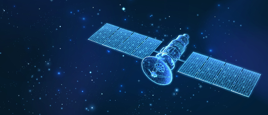
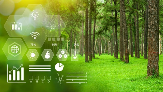
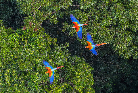
Orbit sees the roof of the Amazon and reports it in arrears. Underneath, there is no network at all. IoF puts sensing, compute and AI on the forest floor — VeeaHub mesh clusters with satellite backhaul — so a rainforest can be measured hectare by hectare, as it happens, with the evidence held by the people who live in it.
  • Canopy loss
  • Wildfire ignition
  • Biomass
  • Soil moisture
  • Air quality
  • CO2 flux
  • Water quality
  • Bio-acoustics
  • Species presence
  • Chainsaw audio
  • River level
  • Human activity
  • VeeaHub mesh clusters
  • LoRa
  • Wi-Fi
  • Bluetooth
  • Zigbee
  • Satellite backhaul
  • LIDAR
  • Drone imagery
  • Edge AI
  • Federated learning
  • Energy harvesting
  • MRV
Why this exists

One forest, and most of the numbers that matter to it

The Amazon regulates the climate and the oxygen supply of a planet that has no second one, and it is being cleared faster than anyone can survey it.

  • 20%

    of the Earth's oxygen production depends on this one rainforest.

  • 10%

    of the world's known wildlife species live nowhere else.

  • 400

    indigenous and ethnic minority groups call it home.

  • 27%

    of the Amazon could be treeless by 2030 at the current rate of clearing.

Sources: WWF and the World Bank. Separately, the Inter-American Development Bank reports a 69% average decline in monitored species populations worldwide since 1970 — and 94% in Latin America and the Caribbean, the steepest fall recorded anywhere.

The gap

You can see the Amazon perfectly well. You just cannot measure it.

Satellites cover every hectare and report the canopy, days or weeks after the fact. Rangers and field scientists see what is actually happening, in the few places a person can reach that week. Neither is wrong, and neither can be scaled into the other — the missing piece is a network on the ground.

Satellite monitoring Everywhere, afterwards Patrols and field surveys Everything, somewhere Internet of Forests Both, continuously
Covers the whole basin Yes No
Sees beneath the canopy No Yes
Reports continuously, not on a revisit No No
Works at night and through cloud Partial Partial
Measures air, soil and water directly No Yes
Hears what is happening No Partial
Flags an event while it is still small Partial Partial
Scales without sending more people in Yes No
Leaves the data with the landowner No Partial
Produces a verifiable record per hectare No No
Improves as more data arrives Partial No
How it works

Everything above the canopy stops at the canopy

Imagery and LIDAR are extraordinary at reading the surface of a forest, and that is where they end. What happens underneath — the fire before it has a plume, the chainsaw, the species that has stopped calling, the pollutant in the stream — has to be measured from inside. IoF installs mesh clusters of VeeaHubs in selected zones, processes the readings on the spot, and sends only what matters out over satellite.

  • SatelliteLIDAR and imagery
  • Drone surveyBiomass and canopy
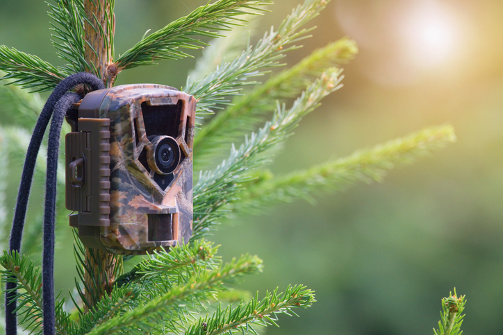
  • Cameras and bio-acousticsSpecies and activity
  • VeeaHub mesh clusterEdge AI on site
  • Mesh nodeZone relay
  • Mesh nodeZone relay
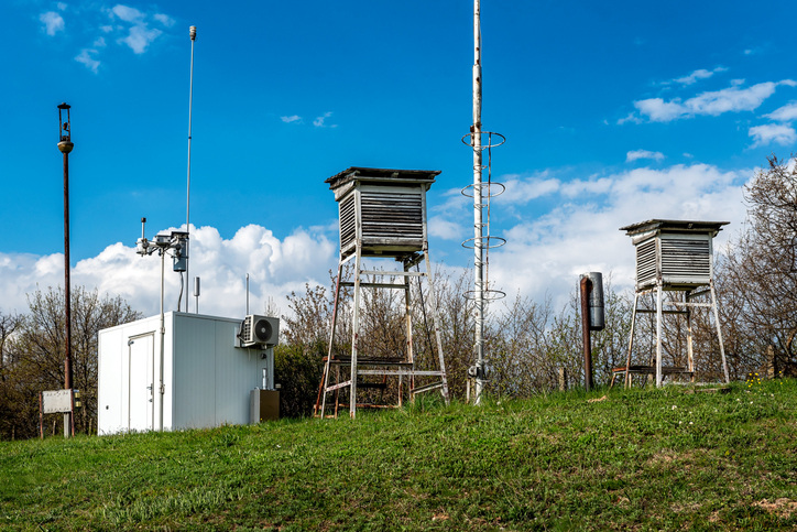
  • Environmental stationAir, heat, humidity
  • In-situ bio-sensingPollutants and bacteria
  • Activity sensingChainsaws, vehicles, people
  • Soil and waterMoisture and flow
Everything looking down stops at the canopy. The only line that crosses it is the hub’s own backhaul, and it is carrying results rather than raw data.
The instruments

Four ways of reading a rainforest, fused into one

The unit

Conservation is decided per hectare. So is the evidence.

A rainforest is governed, financed, farmed, logged and protected one parcel at a time — but it is measured as a single national statistic. IoF gives each hectare its own continuous record, sourced and timestamped, which is the difference between an estimate a stakeholder has to trust and a measurement they can check.

Each square is one hectare — the unit IoF is built to address. The Amazon has hundreds of millions of them.

Per-hectare record What one hectare can say about itself
  • Canopy cover and changeLIDAR and imagery
  • Fire and smoke signaturesGround and thermal
  • Species presenceBio-acoustics and cameras
  • Soil, water and air qualityIn-situ sensors
  • Human and machine activityLow-power sensing
  • Biomass and carbon stockFused ground and remote

Every value carries its source, its timestamp and the hectare it came from. That is the whole difference between an estimate and evidence — and it is what makes a hectare's condition something a community, a regulator or a funder can act on.

MeasureWhat is happening here

Continuous monitoring of the environmental and social variables that describe a parcel, rather than an annual snapshot of a region.

AssessWhat it is worth, and which way it is going

Key metrics and their trend, per hectare — the basis for valuing land, verifying a restoration claim, or noticing a decline early enough to answer it.

GovernWho gets to decide next

A shared digital record that landowners, communities, scientists and authorities can all read — open access being the point, not a by-product.

The path of a measurement

From a sensor on a trunk to something a court could use

  1. It is sensed

    Ground sensors, cameras, microphones and bio-sensors across a zone — many of them harvesting their own power, because there is no grid to plug into.

  2. A hub takes it in

    VeeaHub mesh clusters in the zone speak LoRa, Wi-Fi, Bluetooth and Zigbee, and stamp every reading with the hectare it came from.

  3. It is processed on site

    Analysis runs on the hub itself, so a fire signature becomes an alert in the forest rather than a file in a queue somewhere else.

  4. It is fused with what orbit sees

    Ground truth joined to satellite LIDAR and high-resolution imagery over satellite backhaul — each one telling you what the other cannot.

  5. It becomes evidence

    Federated AI learns across zones without moving raw data off the land, producing measurement, reporting and verification a stakeholder can audit.

Nothing in this path requires a person to be standing in that hectare on that day — which is the only reason it can run everywhere at once.

Advantages

What changes when the forest has a network

  • What that buys Deployment stops being the hardest part of the project.
    The old way Compute, storage, networking and security arrive as four separate boxes, in a place with nowhere to rack them.
    With IoF One hyper-converged VeeaHub does all four, plug-and-play, in a cluster a field team installs in a day.
  • What that buys The forest is analyzed where it is, and the raw record never has to leave it.
    The old way Raw imagery and audio are shipped somewhere else before anything decides what they mean.
    With IoF Few-shot and federated learning run on the hub, beside the sensors that produced the data.
  • What that buys Monitoring stops being rationed by travel time.
    The old way Coverage scales with how many people you can send into the rainforest, and how often.
    With IoF Low-cost distributed sensors and shared hubs cover a zone once and keep covering it.
  • What that buys Measurement continues on the days nobody is there.
    The old way Anything you install assumes a power connection and a backhaul that do not exist out here.
    With IoF Renewable power, energy harvesting, redundancy and failover, designed for off-grid operation.
  • What that buys The people the data is about are the people holding it.
    The old way Data about a community's land ends up somewhere that community cannot reach or question.
    With IoF Zero Trust, containerized isolation and local storage, on hardware inside the region.
The last hectare

A network in the forest is a network for the people in it

The same hubs, the same mesh and the same backhaul that carry a soil reading carry everything else. Connectivity installed to monitor a rainforest does not stop being connectivity when it reaches the communities living inside one.

  • Education · Health · Training Content that reaches the last hectare Locally cached and regularly updated education, healthcare, training and news, served from the hub instead of from a connection that is not there.
  • Farming · Water · Energy Livelihoods built on the same data Smart farming and precision agriculture, water management, ecotourism and renewable generation, planned from measurements of the actual place rather than a regional average.
  • Air · Water · Disasters Early warning where warnings arrive last Water pollution, air quality, natural hazards and climate shifts monitored continuously — and reported first to the people standing in them.

IoF is explicitly framed against the UN Sustainable Development Goals, and the data it produces is intended as a foundation other ESG and scientific initiatives can build on rather than a dataset held by one company.

Before you ask

The questions a rainforest deployment starts with

There is no power out there. What runs the hardware?

Renewable generation at the hub, and energy harvesting plus opportunistic sensing at the far end — the distributed activity sensors are designed to be low-cost and low-power precisely because nobody is going to visit them. The platform is built for off-grid operation with redundancy and failover, so a zone keeps measuring on the days nobody is there. Power, not connectivity, is usually what decides where a cluster can go.

And no network. How does anything get out?

Sensors reach a VeeaHub mesh cluster over LoRa, Wi-Fi, Bluetooth or Zigbee — short hops through the forest rather than one long one — and the cluster carries a satellite backhaul. The reason that is affordable is the order of operations: readings are processed on the hub first, so what crosses the satellite link is results and exceptions, not raw video and audio. A design that shipped everything raw would not fit through the backhaul at any price.

What actually runs on the hub instead of in a cloud?

The hub is a hyper-converged edge server — compute, storage, networking and security in one plug-and-play box with micro-cloud capabilities, which is what makes a deployment a day of work rather than a rack. On top of it runs Edge AI: few-shot and federated learning, blockchain-supported, part of the Enterprise Neurosystem climate AI community. Federated is the operative word — models improve across zones without the raw data leaving any of them.

Who ends up holding data about a community's land?

The community, the landowner and the authorities they choose to share with. Storage is local and isolation is enforced by Zero Trust security and patented containerization, not by a policy document — so a boundary you have not opened is a boundary nothing crosses. Open access is a stated goal of the initiative rather than a concession: the point of measuring a hectare is that the people living on it can see what it says.

How do you know the readings mean anything?

Because nothing stands on one instrument. Ground sensors, cameras, bio-acoustics and in-situ bio-sensing are fused with satellite LIDAR and high-resolution imagery, and each value keeps its source and its timestamp against the hectare it came from. That is what makes it monitoring, reporting and verification rather than an estimate — an MRV record can be audited by somebody who does not take your word for it, which matters most for the two things IoF is used to establish: what changed, and who caused it.

What is a tokenized hectare, and why does it need sensors?

Land can be represented digitally and financed on the strength of its condition — but only if that condition is measured reliably, per parcel, over time. Without evidence, a hectare of standing forest is worth a claim; with it, it is worth what it can demonstrate. That is why the impact-measurement work comes first and the digital governance layer second: the ledger is only as good as the instruments underneath it.

Is this deployed, or is it a program?

Both, and the distinction is worth being straight about. IoF is an initiative, built with ecosystem partners and framed against the UN Sustainable Development Goals — it is the first large-scale attempt to put edge computing, IoT, remote sensing and federated AI together for real-time biodiversity monitoring in the Amazon. The platform underneath it is not experimental: the hubs, the mesh, the containers and the edge AI are Veea's shipping products, running in other industries today. What a specific deployment looks like is a conversation about the zone.

Which hectares are yours to protect?

Tell us the terrain, the backhaul you already have, and what you need to be able to prove. We will map the mesh.